
Wilkes Land Grants
Jason Duncan has done some phenomenal work overlaying old land grants with maps to show the historical progression of how Wilkes County has been shaped and has grown over the years.
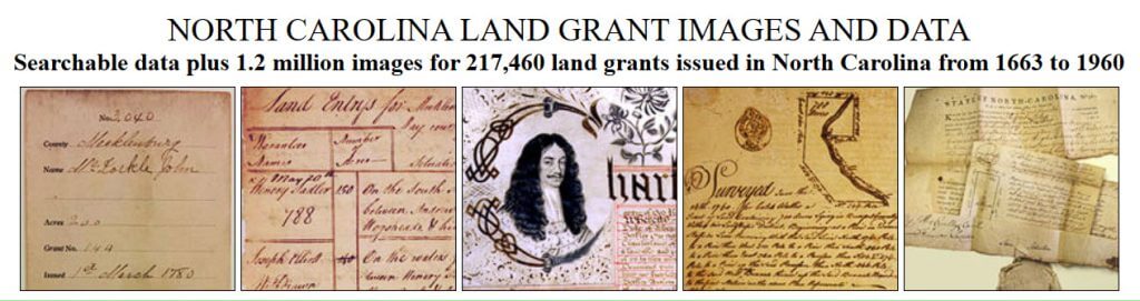
NC Land Grants
This was a massive project and they now have all 1.2 million images of NC Land Grants online available free to the public.

NC Maps
Wilkes Specific Maps
This UNC project contains over 3000 maps ranging from the years 1650 to 2000.
This digital library contains all the NC maps in conjunction from the State Archives of North Carolina, the North Carolina Collection at UNC-Chapel Hill, and the Outer Banks History Center.